

Adamawa Region
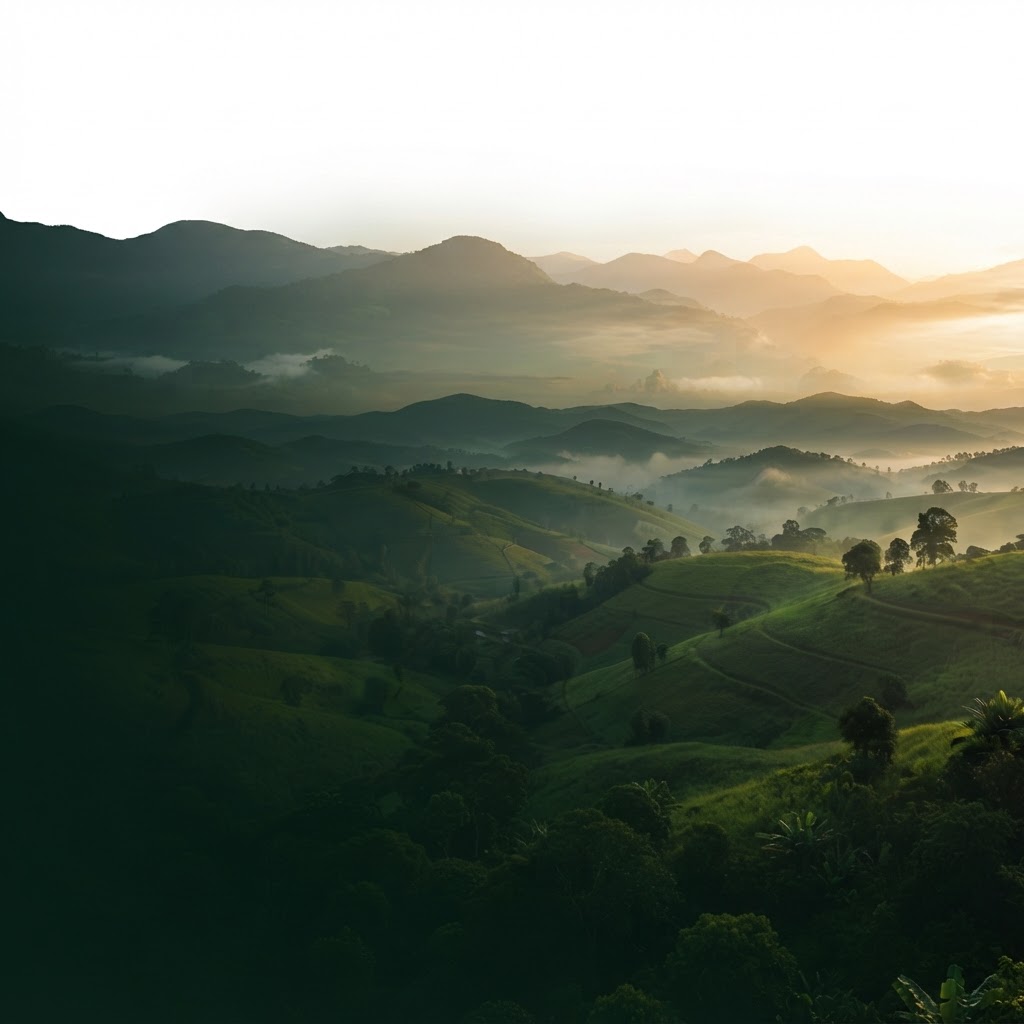
Ngaoundéré escarpment
Granite outcrops rise above the plateau around the regional capital, where grasslands meet rocky hills.
AI-created scenic interpretation · not documentary photography
TribeLink
Find your Cameroonian community. Wherever you are.
TribeLink is the free platform where Cameroonians across the globe connect, share their stories, and stay rooted — no matter how far from home they've landed.
No subscription. No algorithm. Just Cameroonians finding each other.
A founding community of Cameroonians from 11 countries is already here — and growing every week.
Find your people
Share what connects you
Stay rooted
Cameroonians are here — are you? 🇬🇧 UK · 🇨🇦 Canada · 🇺🇸 United States · 🇫🇷 France · 🇩🇪 Germany · 🇧🇪 Belgium
Interactive Travel Planner
Find the best route between any two cities
Cameroon Transport Topology
Interactive infrastructure network
Road Status
Node Type
Road Quality
37
Road corridors
5
Rail lines
9
Airports
4
Waterways
Roadways
121,873 km total · ~10,576 km paved (8.4%)
National Highways
Yaoundé – Bertoua – Ngaoundéré – Garoua – Maroua – Kouséri
Chad border
Yaoundé – Mbalmayo – Ebolowa – Woleu Ntem
Gabon border
Yaoundé – Edéa – Douala – Idenau
Main coastal route
Yaoundé – Bafia – Bafoussam
Western highlands
Douala – Nkongsamba – Bafang – Bafoussam
Anglophone corridor
Ejagham – Bamenda – Bafoussam – Tibati – Lokoti
Nigeria border
Edéa – Kribi
South coast
Mutengene – Kumba – Mamfé
SW anglophone
Mbalmayo – Nki
Congo border
Yaoundé – Bertoua – Batouri – Kenzou
CAR border
Bamenda Ring Road
Mezam – Ngokitunjia – Mbui – Boyo – Menchum
Trans-African Highways
Dakar – N'Djamena Highway
Sahel corridor
Lagos – Mombasa Highway
Central Africa corridor
Tripoli – Cape Town Highway
North–South backbone